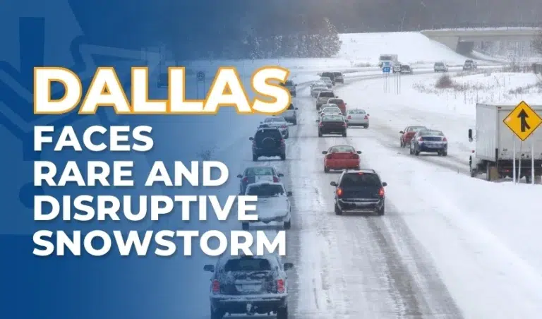

Dallas continues to experience the impacts of a rare winter storm that began on Thursday, bringing snow, ice, and freezing temperatures to the region. As of today, January 10, 2025, the National Weather Service (NWS) has issued a winter weather advisory for Dallas, Denton, Collin, Kaufman, and Tarrant counties, which remains in effect until midday.
Accumulations and Impacts
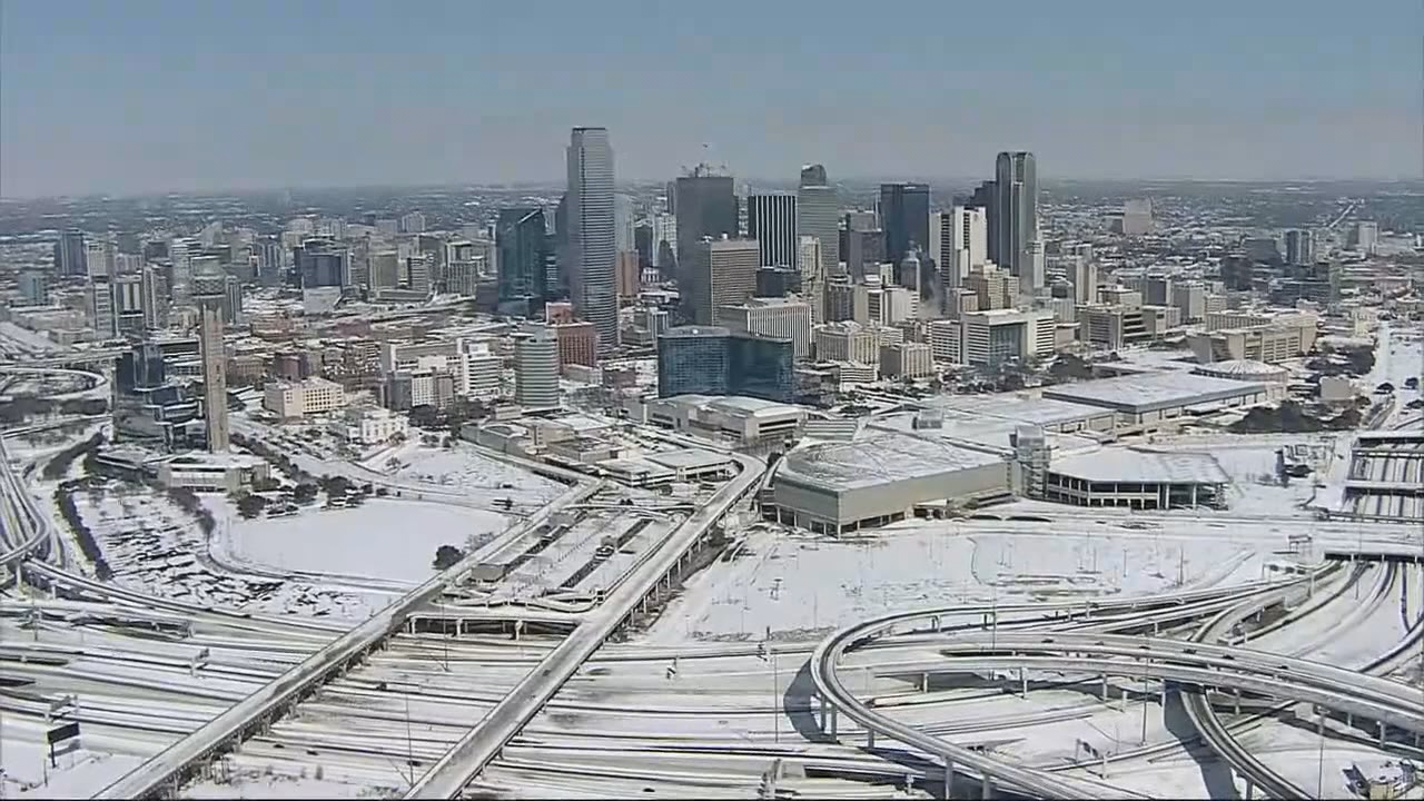
Snowfall totals in the Dallas-Fort Worth area range from 2 to 8 inches, with isolated reports of higher accumulations north of the city. Notable totals include 6 inches near the Red River and up to 4.7 inches in Northlake. Freezing drizzle and light snow are still moving through the area, and black ice remains a significant risk, specifically on bridges and overpasses.
Schools across North Texas, including Dallas ISD, have remained closed for a second day. Government offices in Dallas County are also closed due to hazardous road conditions, and public officials urge residents to exercise caution.

Black Ice Concerns
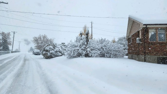
Black ice poses a significant hazard, specifically as temperatures rise above freezing during the day, melting snow and creating wet roads that refreeze at night. Black ice, a thin and nearly invisible layer of clear ice, is particularly dangerous for drivers due to its lack of visibility. Bridges, overpasses, and shaded areas are particularly susceptible. Drivers are urged to exercise extreme caution, reduce speed, and maintain a greater following distance to mitigate risks.
Disruptions to Air Travel
Air travel remains heavily disrupted, with over 440 flights canceled at Dallas-Fort Worth International Airport and 96 at Dallas Love Field. Airlines and airport staff are working to recover as conditions improve, but passengers are advised to check flight statuses and allow extra time for travel.

Power and Safety Concerns
Localized power outages are affecting parts of the region, with Oncor reporting more than 3,000 customers without power this morning. Fortunately, the Electric Reliability Council of Texas (ERCOT) has assured the public that the state’s power grid is stable and equipped to handle the increased demand.
The NWS has warned that temperatures will drop into the low 20s tonight, with some northern areas experiencing lows in the teens. Freezing fog may develop in areas with lingering snow, increasing the likelihood of icy roadways and further complicating travel conditions.
Looking Ahead
Conditions are expected to improve gradually through Friday afternoon as temperatures rise above freezing briefly. However, wet roadways may refreeze tonight, creating hazardous conditions into Saturday morning. By the weekend, the weather is forecast to clear, with highs reaching into the 40s and sunny skies returning.

Staying Safe During the Storm
Residents are strongly encouraged to stay indoors as much as possible, avoid unnecessary travel, and remain vigilant if venturing out. Driving conditions will continue to be hazardous, particularly overnight when temperatures drop and refreeze any water on the roads. If you must drive, reduce your speed, leave extra space between vehicles, and be prepared for sudden patches of black ice.
If you have been injured in a car accident caused by the winter storm or black ice, contact a car accident attorney for guidance. They can help you navigate your legal options and work toward securing the support you need during this challenging time.